

25 miles, trail difficulty: intermediate
Phone: (800) 305-7417
Website: https://www.nps.gov/natr/planyourvisit/horseback-riding.htm
Here’s what you need to know:
1. Getting here – the natchez trace parkway leads to all three trailheads, 50 mph limit, Food and fuel within 20 minutes.
2. Parking & Trailers – garrison creek trailhead in leiper’s fork tn has paved back in parking spaces, hwy 7 trailhead in fly tn provides a small gravel lot on side of old natchez trace road just off hwy 7, and hwy 50 trailhead in shady grove tn has a large grass pull through lot on totty lane just off hwy 50.
3. Family Friendly – yes
4. Trail Difficulty – intermediate
5. Trail Info – shaded and sunny, rocky, diverse, parallels natchez trace parkway, some road riding.
6. Amenities – restrooms at garrison creek trailhead only, water available at garrison creek and hwy 50 trailheads, hitching rails and picnic tables at all trailheads.
7. Events & entertainment – Organized riders by permit only.
8. Lodging – no
9. Hookups – n/a
10. Stalls – n/a
Other/notable:
Beautiful distant views
Shared trails
Some creeks on trails
Some hillside riding and creek crossings
Boots or shoes recommended
3 separate trailheads and separate locations.
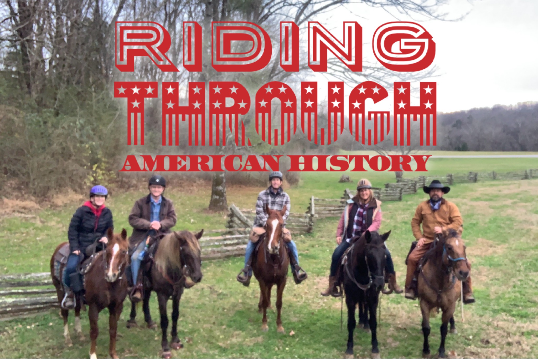
The Highland Rim Trail of the Natchez Trace National Scenic Trail is a 25 mile out and back shared trail system maintained by the national park service. This trail runs north and south, parallel with the Natchez Trace Parkway about 30 miles southwest of Nashville. There are three distinct trail head entrances, each with parking: Garrison Creek, Hwy 7, and Hwy 50.
Garrison Creek at milepost 427.6 on the Parkway, named for a nearby 1800s US army post, serves as the northern trailhead for the Highland Rim Trail. This trailhead offers restrooms, picnic tables, paved back in parking spaces, hitching rails, and a stream near your trailer for your horse. As you start out, two points of interest along the Garrison Creek Loop are the overlook and the tunnel that the trail follows under the parkway with the option of riding up and over the parkway. There is also the War of 1812, a roadside park 2 miles from Garrison Creek Trailhead. Here you’ll find tie rails, picnic tables and a monument honoring soldiers who traveled and were buried along the original trace during the war of 1812. Another roadside park as you travel South is called Burns Branch, named after the stream that flows through it. This is a great place to stop and have lunch as there are tie rails and picnic tables next to the flowing creek that runs parallel to the trail. As you continue heading South toward the Hwy 7 trailhead you’ll cross a wooden bridge and ride alongside a tall rock wall before heading into a hardwood forest. The trail will intertwine with Burns Branch before heading uphill and crossing under both overpasses of Hwy 840. Be prepared to cross several rural roads along the way.
Hwy 7 trailhead is located just North of Hwy 7 on Old Natchez Trace Road which runs parallel to the Parkway. At this point in the Highland Rim Trail system you are approximately 12 miles from the most Northern trailhead at Garrison Creek and 8 miles from the most Southern trailhead at hwy 50. The Hwy 7 trailhead has a small gravel half circle lot on the shoulder of the road and is equipped with picnic tables and tie rails in the shade of a pine grove. From the trailhead you’ll head South crossing over hwy 7 to the entry of a field just East of the parkway. The trail will consistently find its way back to the shoulder of the parkway sometimes crossing it and other roads after short jaunts through distant fields and forests.
Hwy 50 is the Southern most trailhead located West of Parkway milepost 408 on Totty Lane adjacent to Hwy 50. Here you’ll find a trough with running water, picnic tables, tie rails, and a fire ring as well as a large grassy parking area.
From the trailhead you’ll head South crossing over hwy 7 to the entry of a field just East of the parkway. The trail will consistently find its way back to the shoulder of the parkway sometimes crossing it and other roads after short jaunts through distant fields and forests.