

18 miles, trail difficulty: beginner
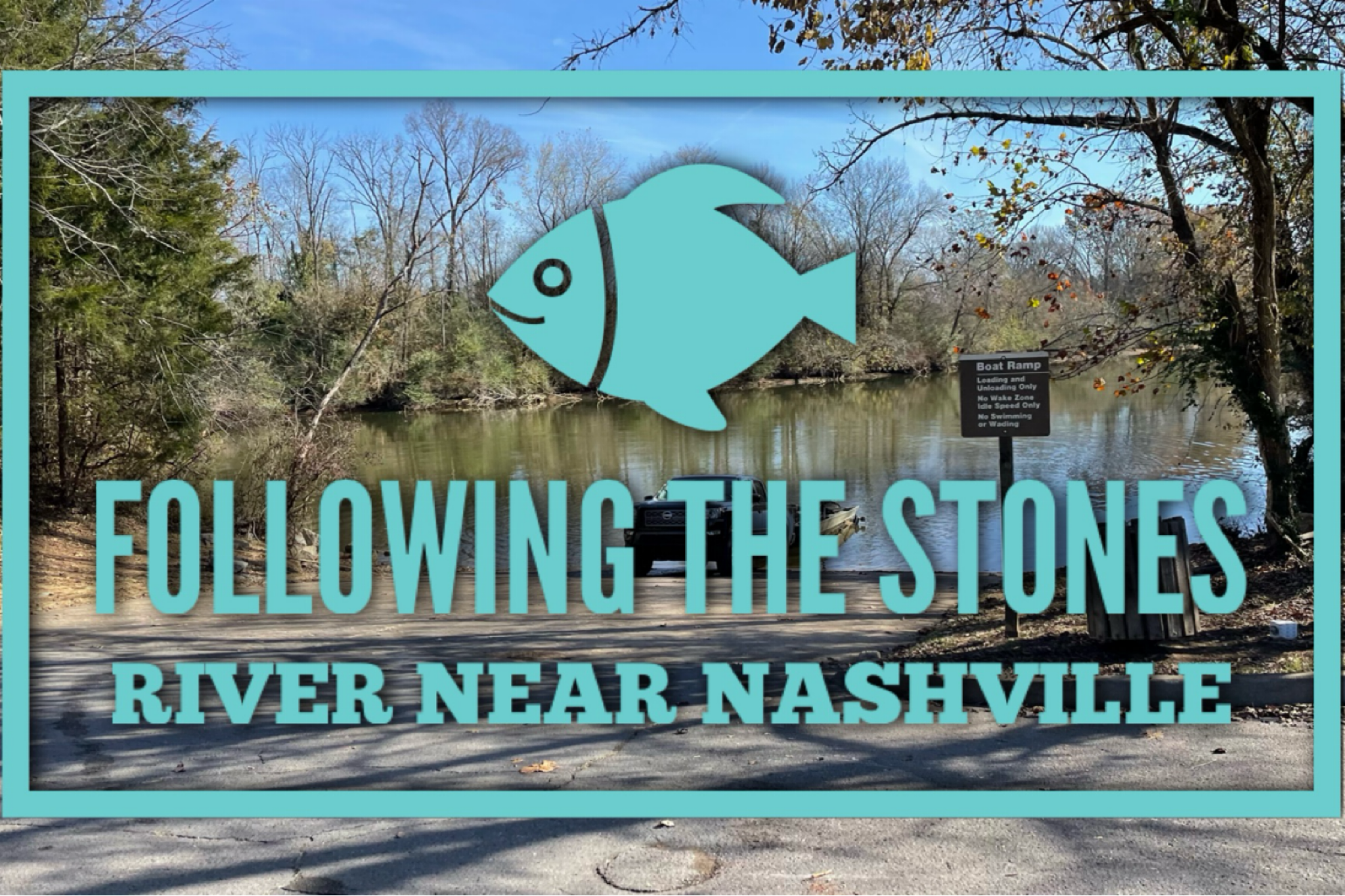
Address: 5798 Central Valley Rd Murfreesboro, TN 37129
Here’s what you need to know:
1. Getting here – suburban roads leading into lightly traveled two lane large enough for any trailer.
2. Parking & Trailers – ample parking on paved circle lot.
3. Family Friendly – yes
4. Trail Difficulty – beginners
5. Trail Info – 18 miles, shady, mostly forested, shared trails, pedestrians, dogs, barefoot friendly, wear blaze orange during hunting.
6. Amenities – trash cans at east fork rec trailhead, tie rails, porta-potties, tables and grille at central valley trailhead,
7. Events & entertainment – organized rides by permit only.
8. Lodging – N/A
9. Hookups – N/A
10. Stalls – N/A
Other/notable:
Twin Forks Horse Trail welcomes Equestrians and hikers to use this 18 mile long trail running along the shoreline from Walter Hill Dam to Nices Mill Recreation Area. The best access to the trail is at East Fork Recreation Area. There are access points at East Fork Recreation Area and the North Murfreesboro Greenway trailhead off Central Valley Road. The central Valley Trailhead is equipped with porta potties, picnic tables, grille, hitching rails and a trail kiosk with map. Twin Forks Horse Trail runs north along the East Fork Stones River from Central Valley Trailhead to the confluence with the West Fork Stones River near East Fork Recreation Area. From there, it follows the West Fork to the US Army Corps of Engineers’ Nice Mill Dam Recreation Area on Percy Priest Lake – a distance of nearly 18 miles in all. Starting at Central Valley Trailhead, the first 1.75 miles of the trail is maintained by the City of Murfreesboro; the remaining 15+ miles is maintained by the Army Corps of Engineers. Horses are not allowed on the Greenway between Central Valley Trailhead and Walter Hill Trailhead, and that stretch is no longer part of the Twin Forks Trail.
The forced removal of Cherokee Indians east of the Mississippi River in 1838 to Indian Territory in present-day Oklahoma is described by the Cherokee Nation today as the “trail where they cried.” A rediscovered segment of the Trail of Tears near the East Fork Recreation Area is providing new insight into what they experienced during the journey across Tennessee.
Visitors can now retrace the steps of thousands of Cherokee Indians who traveled on this segment of the Trail of Tears that parallels the Forks of the Stones River because of new signs that were recently posted identifying the route along the U.S. Army Corps of Engineers’ Twin Forks Horse Trail.
Native History Association President Pat Cummins led a tour of the newly-marked trail for U.S. Army Corps of Engineers Nashville District employees and family members May 9, 2015. He provided interpretation along the historic Trail of Tears that passes through Old Jefferson, where few remnants remain of the historic river port, trading post and early county seat.
Old Jefferson was founded in 1802 but eventually became a remote outpost when transportation routes shifted away from the Stones River. The U.S. Army Corps of Engineers purchased the land when it prepared to dam the Stones River in the 1960s to provide recreation, hydroelectric production and flood risk reduction.
During the tour, Cummins said there were two routes the Cherokee took through Rutherford County, Tennessee; they passed through the town of Jefferson in 1838. The main route came from Woodberry and Readyville in the eastern part of the county straight west into Murfreesboro and then up Nashville Pike.
“However, there was another route chosen by 4,000 Cherokee, or four detachments of about 1,000 people each. It broke away at Readyville, came up through Woodberry, followed the east fork of the Stones River all the way to Jefferson on what was then known as the Georgia Road,” Cummins said.
The four Cherokee detachments took this alternate route to avoid tolls because of very limited funds the U.S. government provided for the journey, he said.
Valerie McCormack, archaeologist for the Nashville District, who took the tour with her family, said the new signs that mark the route are a nice first step in recognizing the historical significance of the area, which is on Corps land. She said walking the trail and listening to the historical accounts from such a knowledgeable guide was informative, and the experience is helpful in managing the site responsibly.
“We really need a management plan to help us outline what we need to do, how we can manage it, how we can interpret it, because it’s something that really needs to be shared with the public,” McCormack said.
Near the end of the tour, Cummins stopped to recount the first time he stood on this stretch of the Trail of Tears and realized he was the first person, the first Cherokee, to knowingly visit this path in a very long time for the cause of preserving its history and recognizing its significance.
“It means a tremendous amount to us as local Indian people because our ancestors are attached to this road,” Cummins explained. “We still feel that sense of connection, very much so, and you can’t sit and dwell on it, but you have to stop and give reverence where reverence is due.”
Tammy Kirk, Nashville District librarian, grew up in Oregon and her family is Ojibwe, also known as Chippewa. After walking the trail and participating in the tour, she said she couldn’t imagine what the Cherokee went through walking long distances with little provisions, dealing with inclement weather and disease, and being forced to take this arduous route to save what little money they possessed.
“I thought it was a very good experience to learn a little bit about how Native American history intersected with our district’s history,” Kirk said. “My family doesn’t have any history with the Trail of Tears, but I thought it would be interesting to learn. It’s part of our nation’s history – a shameful part of our nation’s history. You have to know about these things in order to keep them in your mind and to hopefully keep from repeating those types of events.”
The Native History Association identified the Trail of Tears segment at Old Jefferson in 2012 when researching the routes using online mapping. Previously it was thought that the land was inundated when the Corps impounded J. Percy Priest Dam in 1967. However, the location of the town and trail both remained on dry ground. The Trail of Tears describes routes taken by the Cherokee during their forced migration as a result of the Indian Removal Act of 1830 and Treaty of New Echota in 1835.
Cummins also shared historical anecdotes about plantations in the area and what occurred there during the Civil War, the movement of Confederate and Union forces along Georgia Road, and the life of Sampson Wesley Keeble, an African American who was enslaved near Old Jefferson but eventually embraced freedom and became the first black representative in the state of Tennessee in 1873.
The Trail of Tears on Twin Forks Horse Trail is accessible from the U.S. Army Corps of Engineers Nashville District’s East Fork Recreation Area, which includes a parking area.
(The public can obtain news, updates and information from the U.S. Army Corps of Engineers Nashville District on the district’s website at http://www.lrn.usace.army.mil, on Facebook at http://www.facebook.com/nashvillecorpsand on Twitter at http://www.twitter.com/nashvillecorps. The Nashville District Library is available on Facebook at http://www.facebook.com/nashvilledistrictlibrary. More information about the Native History Association is available at http://www.nativehistoryassociation.org/)